
Maps Amsterdam
Welkom op de interactieve kaartensite maps.amsterdam.nl van de Gemeente Amsterdam.Deze website bevat een groot aantal interactieve themakaarten en open geo data vanuit de ruimtelijke sector van de Gemeente Amsterdam.

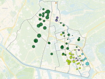
Bijzondere bomen + Adviezen bescherming en beheer (CBH)

Buurtstraatquote

Compost maken met de buurt

Hoogbouwbeleid
Ruimte voor de Circulaire Economie

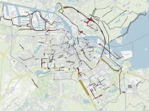
Tram- en metronet 2026
Uitvoeringsprogramma - Tijdvakken Stadsregie
Verkiezingen Gemeenteraad 2026 - uitslagen per stemlocatie
Verkiezingen Gemeenteraad 2026 Zaanstad - uitslagen per stemlocatie
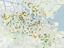
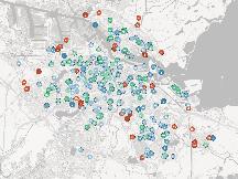
Voedselinitiatieven

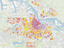
Woningbouwplannen (1-1-2026)

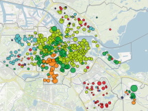
Woningwaardekaart - Verkoopprijs per m2


Maps Amsterdam
Welkom op de interactieve kaartensite maps.amsterdam.nl van de Gemeente Amsterdam.Deze website bevat een groot aantal interactieve themakaarten en open geo data vanuit de ruimtelijke sector van de Gemeente Amsterdam.
Maquette Amsterdam
In de hal van het WTC toren 1&2 is een grote en gedetailleerde maquette van Amsterdam te zien. De Maquette van Amsterdam kan je tijdens kantooruren gratis bekijken. Meer informatie lees en bekijk je op amsterdam.nl/maquette.Netherlands 3D
3D Amsterdam bestaat niet meer en is overgegaan in netherlands3d.eu . Bekijk daar nu heel Nederland in 3D.Data en informatie
Data en informatie is het centrale dataportaal van de Gemeente Amsterdam. Hier zijn nog meer datasets beschikbaar en in kaart weergegeven.Ga naar data.amsterdam.nl voor meer informatie.